
February 20, 2006
We drove up to Mt. Ord, Arizona for a picnic and hike.
It was a nice way to enjoy President's Day.

A picture of all the antennas up there with the lookout.

A picture of the lookout at the top of the mountain.
My GPS had the elevation as 7,092 feet at the base of the tower.
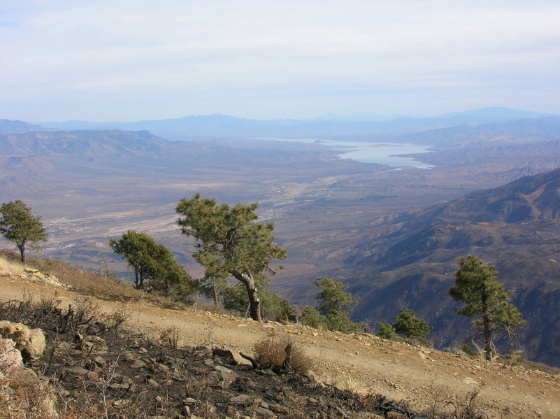
A picture of the Tonto Creek valley and Lake Roosevelt.

A closer picture of Lake Roosevelt.

A picture looking at Four Peaks from the north.

Karry and Moe at the base of the lookout.
There was no ranger to invite us up, so we didn't make the climb.

Moe with a serious look.

This is a nice view looking east from the Mt. Ord road near the top.
This was an easy drive in our Hyundai Santa Fe.

This is a 10 picture panorama covering about 180 degrees.
The directions are from east to south to west.